Trump Posts Map Showing Strait of Hormuz as US Territory
President Trump posted a map claiming the Strait of Hormuz as U.S. territory amid ongoing conflict with Iran that has closed the vital waterway to commercial shipping.
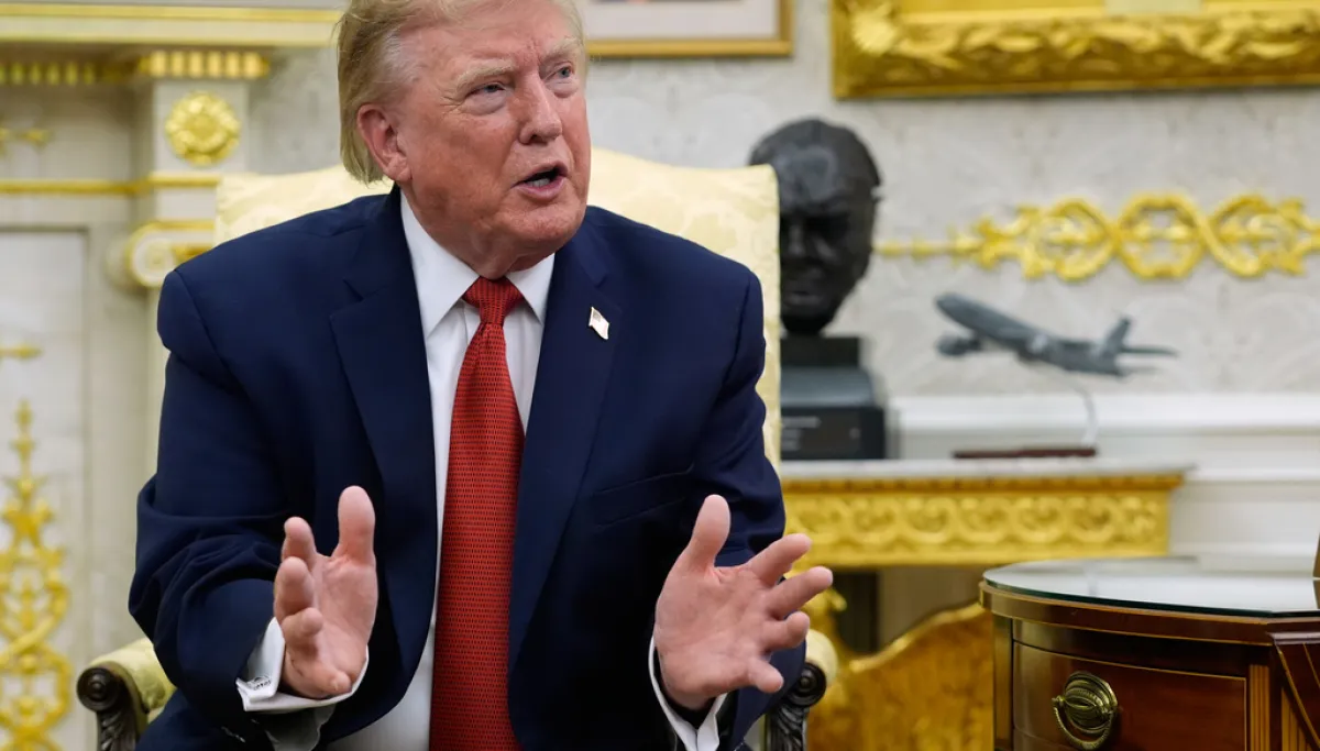



The president shared the territorial map on Truth Social on Tuesday, days after publicly floating the prospect of declaring the strategic chokepoint under American sovereignty, according to David Zimmermann writing in Washington Examiner.
Donald Trump first raised the idea during a rally in Nassau County, New York, on Friday, telling the Long Island crowd that he would be declaring the Strait of Hormuz a U.S. territory once Iran is defeated. He reiterated on Monday that the concept was a great idea, noting that the U.S. naval blockade now controls the strait.
Negotiations Stall as 60-Day Window Expires
The crucial waterway remains closed to commercial shipping as hostilities between Washington and Tehran continue without resolution. A 60-day negotiation window established under a June memorandum of understanding has now expired, following the collapse of a ceasefire agreement in early July.
Trump has indicated he will not pursue an extension of ceasefire talks, instead preferring to pressure Iran into accepting a durable peace settlement through military force.
Iran and Oman Pursue Separate Deal
Iran and Oman, the two nations bordering the Strait of Hormuz, have conducted separate negotiations aimed at reopening the waterway. Iranian officials claim to have reached an agreement with Oman, though specific terms remain unfinalized.
The president has issued a stark warning to Oman, threatening military action against the sultanate if it interferes with efforts to fully reopen the Strait of Hormuz to commercial shipping.
The Strait of Hormuz serves as one of the world’s most critical maritime passages, with roughly one-fifth of global oil supplies traditionally passing through the narrow channel between the Persian Gulf and the Gulf of Oman.
With information from Washington Examiner